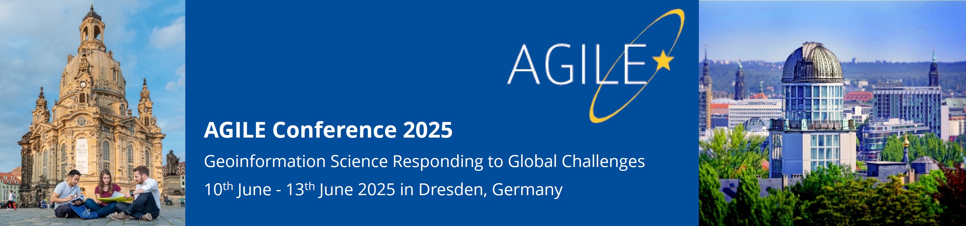
The Association of Geographic Information Laboratories in Europe (AGILE) has held annual conferences focused on Geographic Information Science since 1998. The next AGILE conference will be held in Dresden, Germany, on 10-13 June 2025.
The conference theme “Geographic Information Science responding to Global Challenges” recognizes the pivotal role of geospatial data and analysis in informing decision-making for current global issues affecting humanity, the environment, and global resilience. We aim to explore the critical role of geographic information science in addressing these issues and to advance the crossing of cultural, disciplinary, institutional and technical boundaries towards an integrated and coherent information base as the foundation for evidence-based decisions.
As in previous years, the call for papers has a full paper (published in the AGILE: GIScience Series of Copernicus Publications), a short paper (published in the same outlet) and a poster paper track ready for the Conference. The 28th AGILE Conference will have oral presentation sessions, three keynote sessions, a poster session, a best paper, a best reproducibility report and a best poster session, as well as pre-conference workshops. Similar to 2024, we will run a Journal Article Session, showcasing presentations of articles already published in journals. AGILE 2025, following previous years' practice, will support the reproducibility of submitted manuscripts. The details about the sessions and events will be described on the conference website in due time.
We cordially invite researchers, scholars, practitioners, and professionals in all facets of Geographic Information Science and Technology and their applications to present ongoing research, showcase products, network with colleagues from Europe and the rest of the world, and find out about the latest developments in the field. We encourage submissions that encompass innovative research, practical applications, and theoretical contributions in line with the conference theme. We particularly welcome innovations in interdisciplinary geospatial research data management, integration and analysis.
 © Holger Wirth.
Organizers
| |
Sponsors
 |